The Scilly Naval Disaster of 1707: Lost Because They Couldn’t Find Longitude
In 1707 a British fleet wrecked on the Isles of Scilly because its navigators could not calculate longitude. The disaster helped launch the search for the marine chronometer.
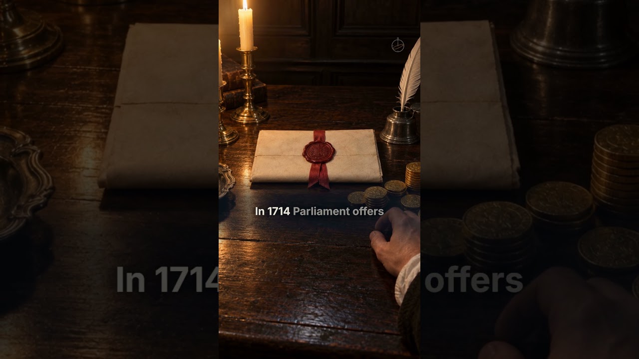
On the night of 22 October 1707, a British fleet confidently sailing home ran straight onto the rocks of the Isles of Scilly — because no one aboard could work out where they actually were.
Around 1,400–2,000 sailors drowned. The disaster exposed a problem that had haunted sailors for centuries: there was no reliable way to measure longitude at sea.
What happened
Returning from the Mediterranean under Admiral Sir Cloudesley Shovell, the fleet was feeling its way through fog and bad weather in the Atlantic approaches to the English Channel. The navigators believed they were safely west of the Scilly Isles. They were wrong. Four ships struck the rocks and sank within minutes, including Shovell’s flagship, in one of the worst maritime disasters in British history.
The science: the longitude problem
Latitude (how far north or south you are) is easy to measure from the Sun or stars. Longitude (how far east or west) is far harder, because it depends on knowing the exact time at a reference location while you measure local noon. In 1707, clocks could not keep accurate time on a rolling, temperature-changing ship, so navigators relied on “dead reckoning” — estimating position from speed and heading. Small errors compounded over weeks into fatal ones.
A disaster that changed navigation
The scale of the Scilly loss helped push the British government to act. In 1714 Parliament passed the Longitude Act, offering a large prize for a practical method of finding longitude at sea. Decades later the carpenter and clockmaker John Harrison solved it with the marine chronometer — a clock accurate enough to keep reference time through any voyage, transforming navigation forever.
What if it happened today?
Modern ships use GPS, which is really a way of measuring time with extraordinary precision — the same problem Harrison solved, now from satellites. The Scilly disaster is a reminder of how dangerous confident-but-wrong navigation is, and why backup systems matter when satellite signals fail.
Key facts
- Date
- 22 October 1707 (Old Style)
- Location
- Isles of Scilly, off Cornwall, England
- Cause
- navigation error — inability to measure longitude
- Deaths
- roughly 1,400–2,000 sailors
- Legacy
- the Longitude Act 1714 and the marine chronometer
Frequently asked questions
Why couldn’t they find their position?
They could measure latitude but not longitude, because no clock of the era could keep accurate reference time at sea.
How was the longitude problem solved?
John Harrison’s marine chronometer, developed after the Longitude Act of 1714, finally kept time accurately enough to calculate longitude.
Related stories: The 1755 Lisbon earthquake · The Great Smog of London
Sources & further reading
- Royal Museums Greenwich — The longitude problem
- Encyclopaedia Britannica — Cloudesley Shovell
- Royal Museums Greenwich — Harrison’s clocks
The companion video uses AI-generated reconstructions, not archival footage; any single on-screen character is illustrative. The historical details above are drawn from the sources listed.
Keep reading
-
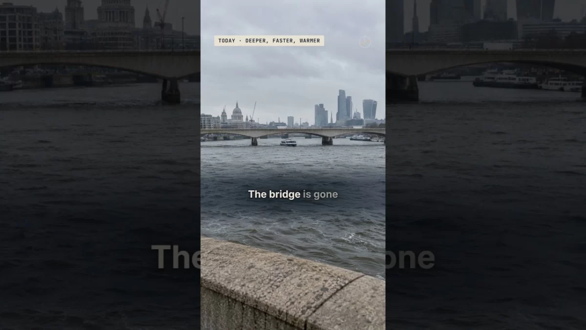
The Thames Frost Fair of 1684: When London Held a Market on a Frozen River
In the winter of 1683–84 the River Thames froze solid for two months and Londoners built a fair on the ice — with a printing press and an ox roast. Here's why it froze then, and can't now.
-
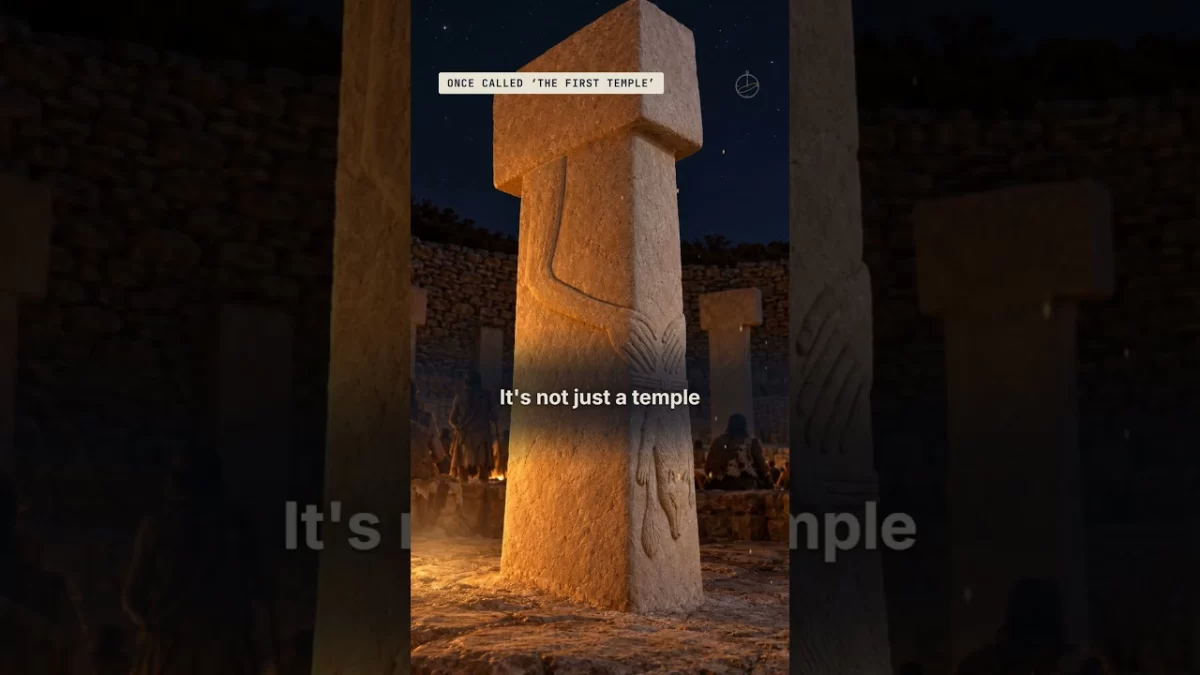
Göbekli Tepe: The 11,600-Year-Old Monument Older Than Stonehenge and the Pyramids
Around 9600 BC, hunter-gatherers in what is now Türkiye raised massive carved stone pillars at Göbekli Tepe — thousands of years before farming, writing, Stonehenge or the pyramids.
-
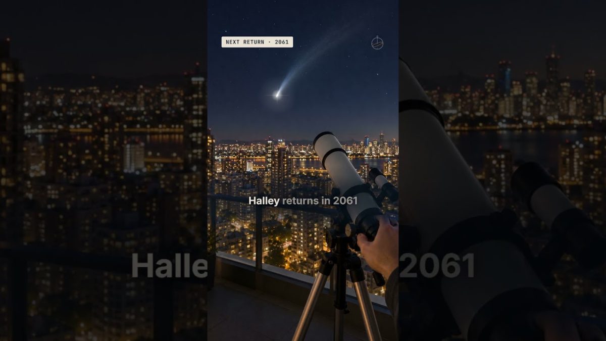
Halley’s Comet, 1910: The Night Earth Flew Through a Comet’s Tail
In 1910 Earth passed through the tail of Halley's Comet. Newspapers warned of poison gas, hucksters sold comet pills — and nothing happened, because a comet's tail is almost nothing at all.
Comments
Spotted an error? Have a question?